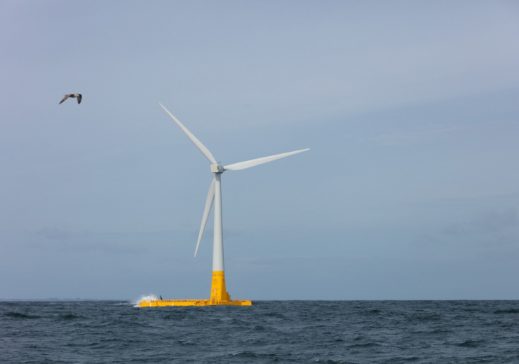
Angers, in Atlantic France, started an ambitious 12-year project to make the city smarter. Thousands of sensors will be deployed in the city and their data will be analysed with many others on a software which allows the situation to be monitored and events to be simulated.
Angers has become the top European hub for Electronics and the Internet of Things. The 2nd largest city in Atlantic France is now investing €178 million over 12 years to dive into the smart city of tomorrow. The project is led by Engie Solutions alongside Suez, La Poste and VYV.
Multisectoral sensors and real-time data combined to produce significant savings
50,000 sensors will be installed in order to collect data on all kinds of equipment: public lighting, buildings, parks, waste, water and sanitation, security, parking and mobility, etc. This data will be aggregated on Engie’s smart city software called Livin’, and enriched with data from communicating infrastructures.
By harmonizing and crossing the data, the city will not only be able to monitor many services in one place, but will also make significant savings: the objective is to reduce the public lighting bill by 66% before 2025, as well as the energy bill for buildings by 20% and the public watering bill by 30%.
A “digital twin” to simulate urban events and their consequences
In order to visualise the data with a realistic representation, the 29 cities of the greater Angers are going to be virtualised in 3D. By using stereoscopic aerial views and ultra-high definition photos, 666 km² of the territory will be photographed with a definition of 1 pixel for every 5cm (2 inches) in reality.
In addition to providing new useful data, these photos will allow a “digital twin” of the city to be created. In particular, this virtual city will be used to carry out simulations in order to anticipate urban projects: reorganisation of services, study the impact of the air pollution or the traffic, network coverage predictions, etc.